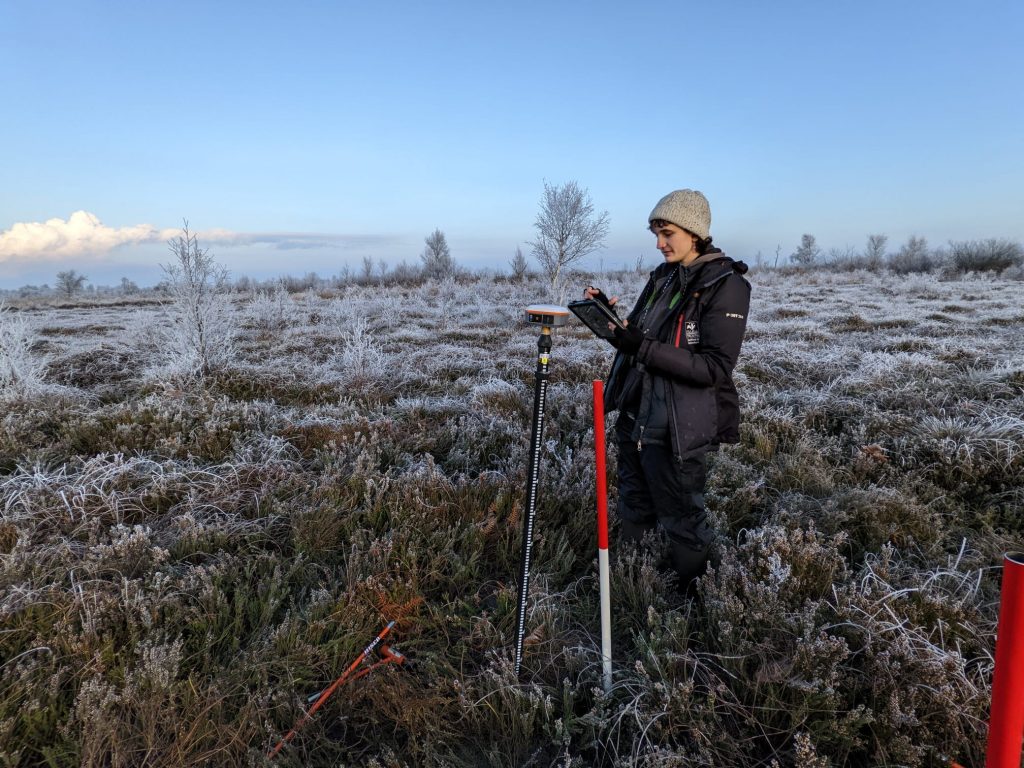
Wildscapes are delighted to be working on the England Peat Map Project, a nationwide project surveying peatlands across the UK. Alongside a number of other Wildlife Trust Consultancies, the Wildscapes ecology team are delivering vegetation and soil field surveys across England.
The England Peat Map Project aims to map the extent, depth and condition of peat across England through new and existing field survey data, satellite Earth observation, and a variety of modelling methods. Working towards a peat data standard, will not only provide an important evidence baseline for years to come, but will help achieve the target of net zero by 2050.
Wildscapes Ecologist, Hannah Weald, comments, ‘This is an exciting project to be a part of! I’ve already had the opportunity to visit several of the country’s stunning peatlands, carrying out vegetation surveys of moorland species and taking peat depth measurements. As a consultancy, we’ve worked on peat restoration projects for many years, but it’s great to be contributing to the data that will dictate future management, protection and restoration plans too’.
The England Peat Map Project is part of the National Capital and Ecosystem Assessment Programme (NCEA), set up to collect data on the extent, condition and change over time of England’s ecoystems and natural capital, and the benefits to society. Read more about these Natural England led projects here.
The Wildscapes team are experienced in numerous heathland and moorland restoration methods, working each winter to help stabilise bare peat within the Peak District. More here.